About
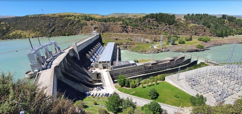
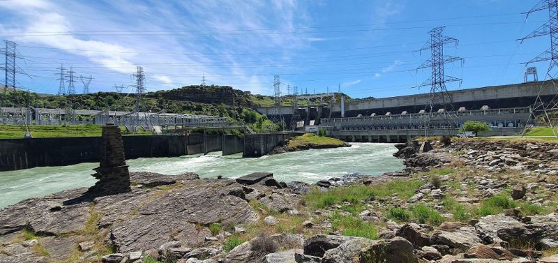
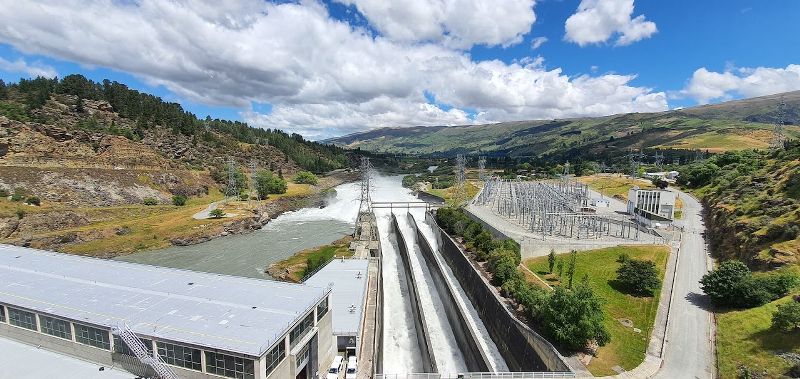
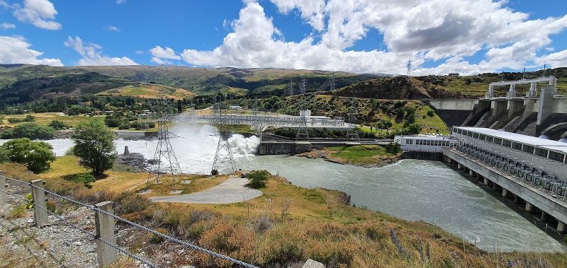
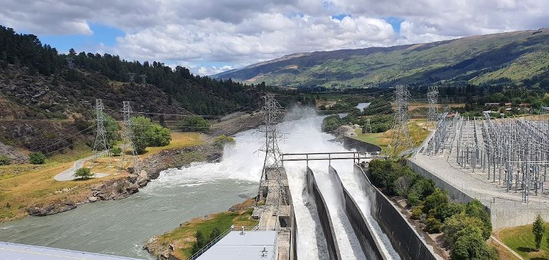
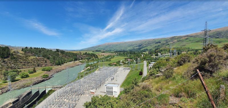
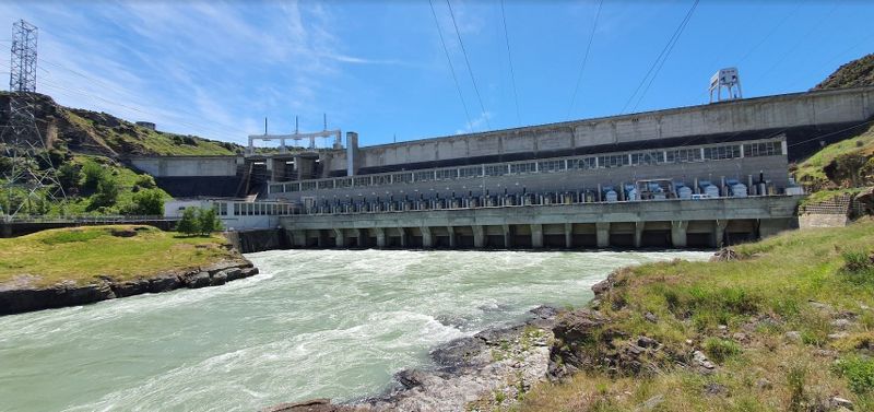
Built in 1949, the Roxburgh Dam is still impressive, especially when in flood or cleaning out silt. Located only 9 km from Roxburgh town, you can get there from either side of the Clutha River and drive, walk or bike right over it. You’ll find lookout points on either side, on the left is a car park and toilets with a little park where you can walk right up to the dam face. On the other side is an excellent picnic spot with great views of the dam as well. The Roxburgh Gorge and Clutha Gold cycling and walking tracks end and begin here.
Facts about the Roxburgh Hydro Dam
- The first hydroelectric project to be constructed in the South Island of New Zealand.
- The height of the dam is 76 m.
- The initial completion date was July 1955, and was officially opened on 3 November 1956 by National Politician, Sir William Stanley Goosman.
- Commissioned during the period 1956 -1962.
- Materials and equipment required to build the dam were transported by rail to Roxburgh. As the Roxburgh railway station was located at Hercule’s Flat this meant that everything had to be transported the rest of the way by road.
- A total of 1,300,000 cu yd (993,921 m3) of concrete was used in the construction of the dam and spillway.
- Cement used in the project was mostly sourced from the Milburn Lime and Cement Company in Dunedin.
- A total of 3,500 drawings were produced for the construction of the Roxburgh Dam.
- The New Zealand Government made an initial expected cost of building the Roxburgh Dam at £17,000,000 (approximately $1.4 billion today). However the final total cost of the project was £24,102, 800 (approximately $2 billion today).
Interestingly, very little gold was found during the construction of the dam. Disappointing for the Government as they had purchased a miners permit and employed a couple of miners. Contact Energy took over ownership of the Roxburgh Dam in 1996 from the Electricity Corporation of New Zealand.